

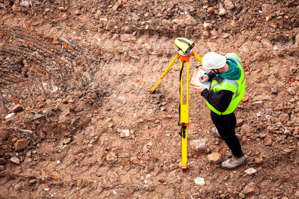


Boundary surveys
Boundary line staking
Marking and monumenting property corners
Resolving boundary disputes and uncertainties
Construction layout and staking
Setting control points for construction projects
Laying out house plans and building footprints
Staking for fences, additions, and site improvements
Topographical surveys
Elevation and contour mapping
Site data for design and engineering
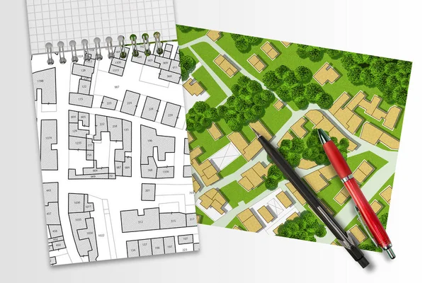
Subdivision layout and planning
Navigating county and subdivision regulations
Guidance through planning and approval processes
Surveys for land division and future development potential
Commercial-grade ALTA/NSPS Land Title Surveys
Compliance with lender, title, and development requirements
Whether you’re building, subdividing, or resolving a boundary question, accurate information is the foundation of every successful project.
Clear Boundaries. Informed Decisions.
Trusted Guidance.
Site Designed By
